Alke Formation (new)
(See also NPD Bulletin no. 3 for older
definitions)
Hegre Group
Name
Named after the bird Razorbill (Norwegian: alke).
Well type section
Norwegian well 33/12-2
from 3749 m to 4048 m, coordinates N61°13'31.38", E01°51'25.97".
Well reference sections
UK well 211/29-5 from 3795 m to 4055 m, coordinates N61°04'43.0", E01°45'46.5".
NO well 34/4-C-6H from 2980 m to 3452 m, coordinates N61°31'30.51", E02°12'40.66".
Thickness
229 m in the type well and 260 m in the reference well.
Lithology
The Alke Formation is dominated by brick red to red brown, grey and grey-green
claystones and mudstones as well as marls which are normally soft, silty and
micaceous.
Boundaries
The lower boundary represents a transition from the massive
sandstones of the Lomvi Formation. This transition is very
sharp as reflected by a sudden increase in the gamma ray log readings.
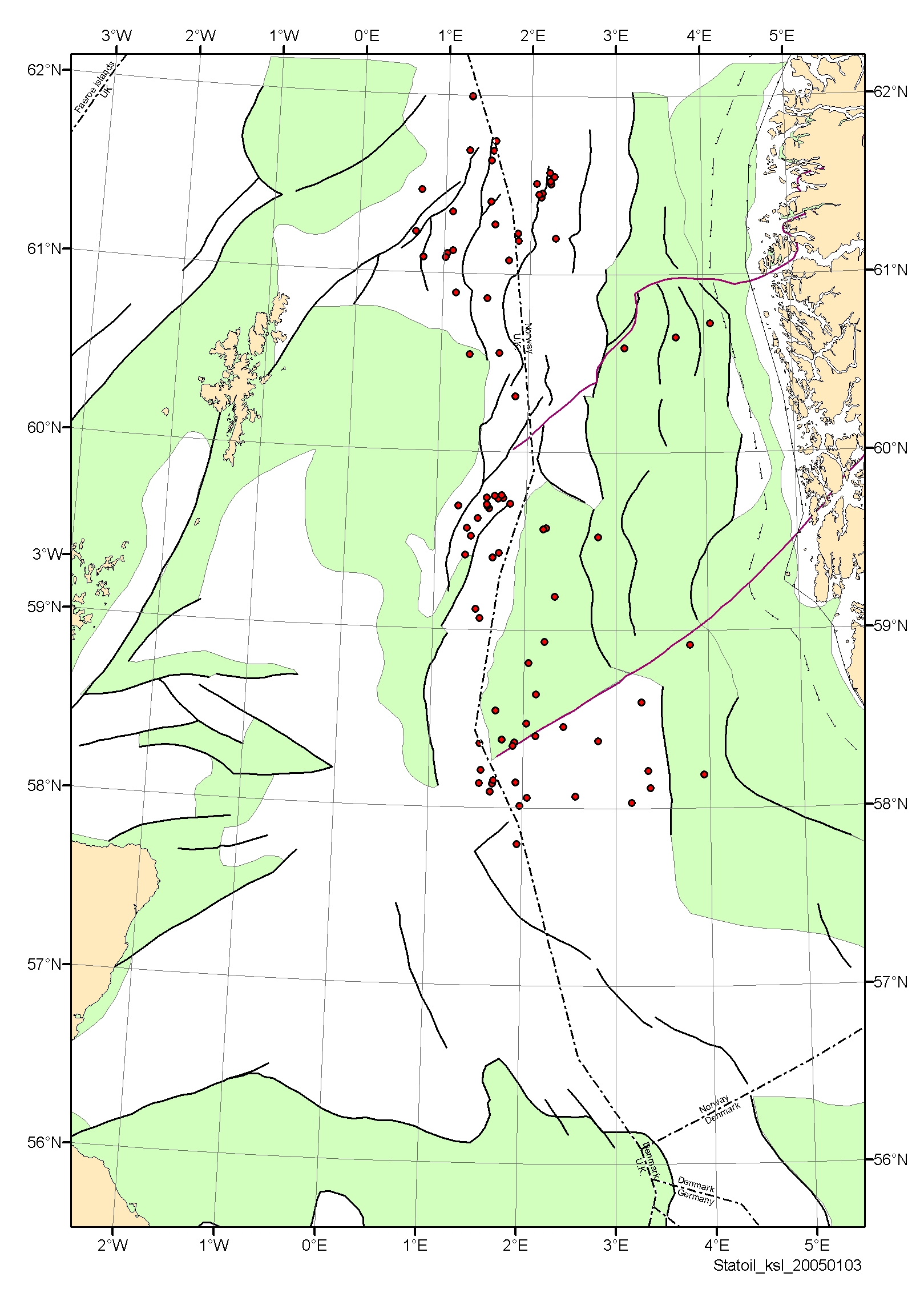
Distribution
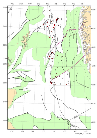
Distribution of the Alke Formation (click image for full size).
Age
Ladinian - Carnian
Depositional environment
The clay- and mudstones of the Alke Formation is interpreted to be deposited distally
to major proximal silica-clastic depositional systems.
Comments
In the Snorre Field the interval of the Alke Formation is in certain intervals
dominated by sandstone lithology (the “lower Lunde member”). The lower part of the
Alke Formation interval of well GB 211/13-1 is also dominated by sandstone lithology.
This succession is indicated as unit A (Fig. 5). More information is needed in order
to understand the presence of sandstone within the Alke Formation interval. It is not
rational to introduce sub-units within the Alke Formation at this stage.